 |
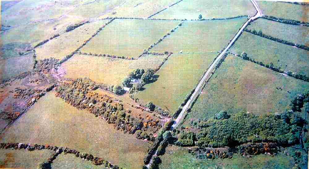
A large dun, or raised rampart, now much deteriorated, some parts of which have been dated to 140 BC or earlier, some to the same timescale as Navan Fort (Eamhain Macha). Many archeological investigations have been documented. The Dorsey may have been "a fortified frontier post...of the Kingdom whose capital was Emain Macha", blocking an important historic route or pass into southern Armagh, and built at a time when Ulaidh's power was the strongest. Later threats to Ulaidh from the south may have caused the Dorsey to be incorporated into a larger defensive system known as the "Black Pig's Dyke" which stretches west from that point. This picture shows the main part of the surviving earthwork. The accompanying plan shows the extent of the whole enclosure. |